Automate conversion between coordinate systems and search for EPSG codes. Get a service running on high-availability infrastructure with fast and reliable servers.
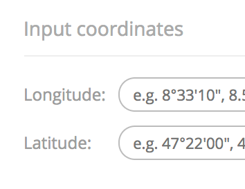
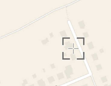
Find a coordinate system and get position on a map. Powered by EPSG database 12.029
Copyright © 2026